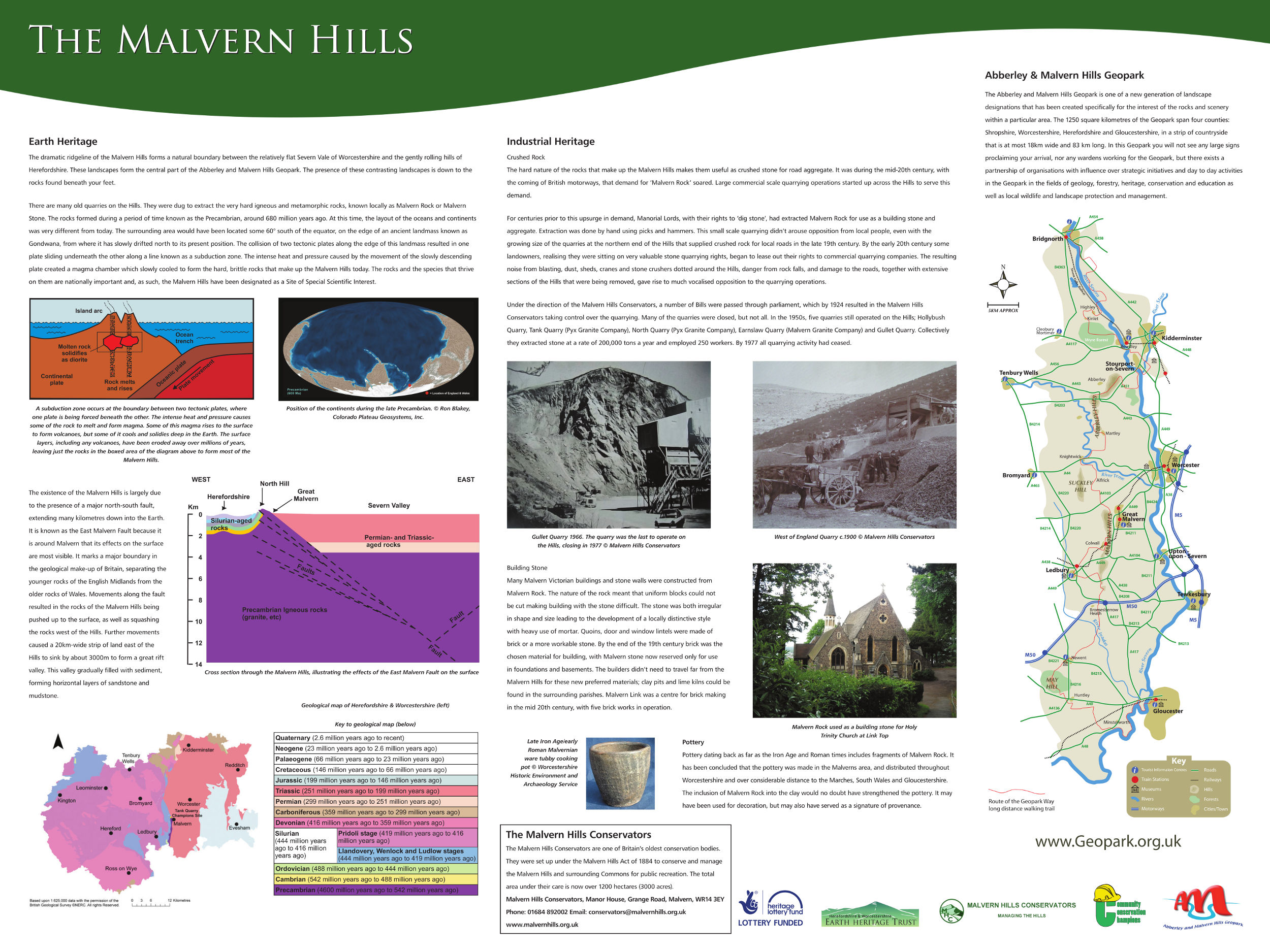
Tank and North Quarries
Tank Quarry is one of largest aggregates quarries that can be found on the Malvern Hills. Found on the north-eastern side of North Hill, the quarry faces reach approximately 100m in height and are 80m wide at the base. At the front of the quarry there is a small car park with a picnic area. There is also a small geology trail that leads up the eastern edge of the site, where a viewing point is located. Most of the quarry is fenced off from the public due to the dangerous rock faces and unstable cliff edges. However there are some smaller rock faces accessible at the back of the picnic area, allowing visitors to view the geology safely.
The geology of Tank Quarry dates to the Precambrian, approximately 680 million years ago, which means that these rocks are some of the oldest exposed in England. The clear quarry face enables amateurs and experts to study the complex nature of the igneous and metamorphic geology on display.
From the eastern edge of quarry, the landscape of Worcestershire can be viewed, with the prominent Cotswolds and Bredon Hill made of Jurassic aged limestones visible to the south-east. To the north-east the Ordovician aged Lickey Hills and Permian aged Clent Hills can be seen. To the east the flat plain underlain by Triassic aged sandstones has given rise to the rich agricultural landscape of Worcestershire.

Tank Quarry
Two interpretation panels were produced for Tank Quarry and can be seen here:
Tank Quarry Panel 1
Tank Quarry Panel 2
Malvern Hills booklet
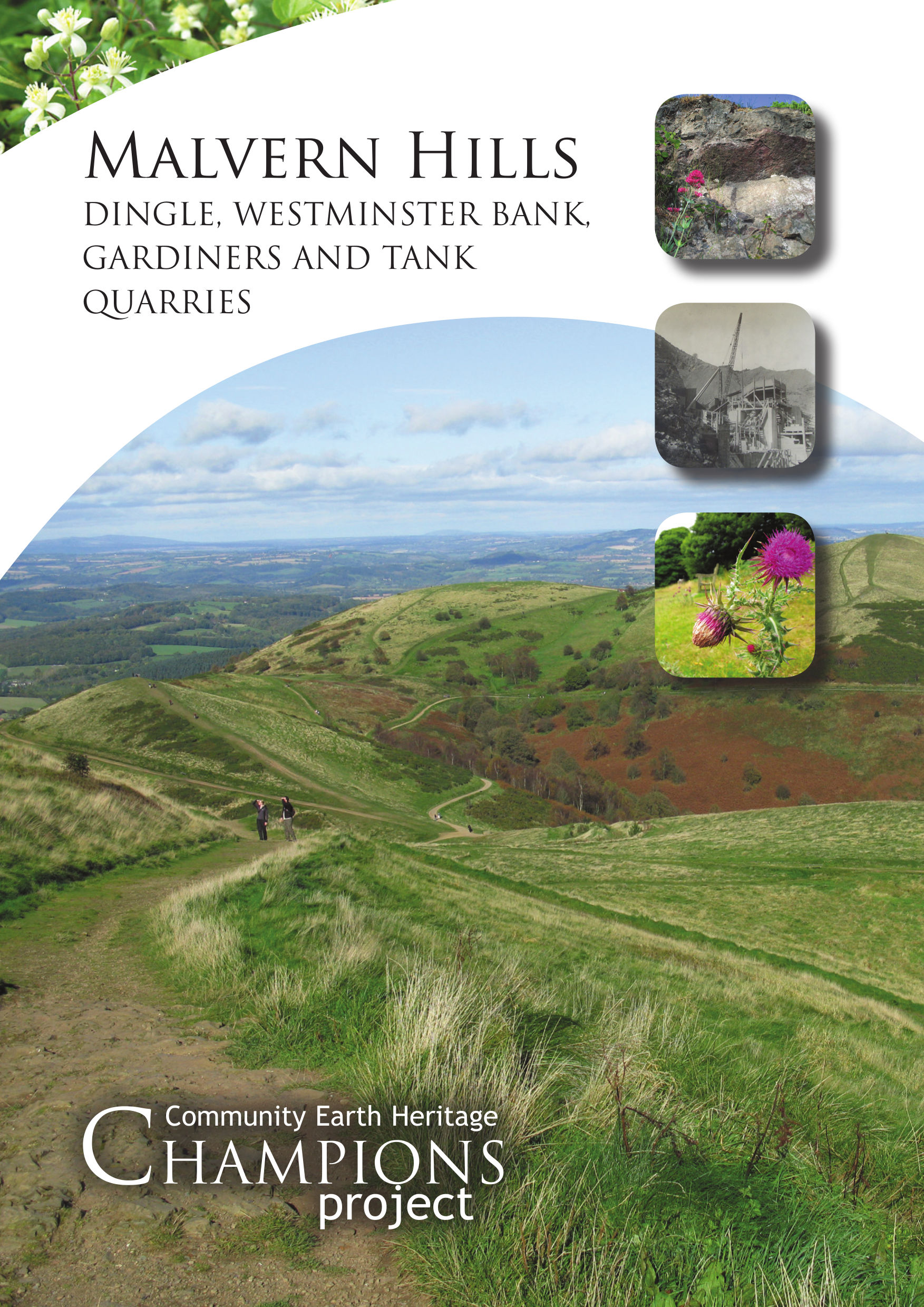
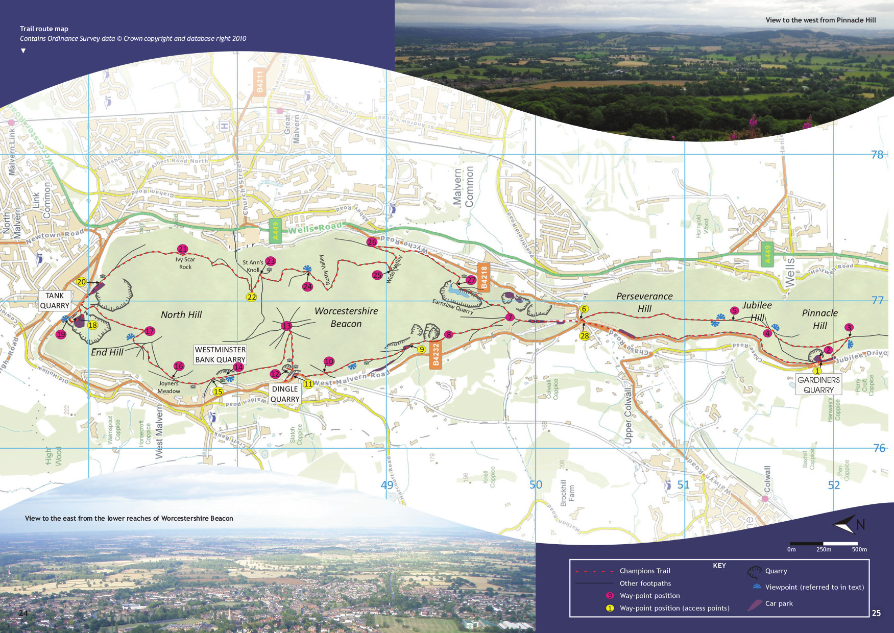
This 52 page booklet takes you on a figure of eight trail 13km (8.2 miles) long and links four Champions Sites; Gardiners Quarry, Dingle Quarry, Westminster Bank Quarry and Tank Quarry. In addition to the detailed descriptions of the fascinating and variable geology seen on the Hills, the booklet also describes the biological and historical features seen at each site. The trail can also be walked as a linear 6.5km (4.18 mile) route. Copies of the booklet cost £3.00 each, and can be obtained from the Earth Heritage Trust.
The booklet can also be downloaded here:
Malvern Hills booklet – part 1
Malvern Hills booklet – Trail map
Malvern Hills booklet – part 2
Malvern Hills Timeline
677 Ma: Crystallisation of igneous rocks (Malverns Complex) from molten rock (magma) at depth.
566 Ma: Eruption of lavas and volcanic ash (Broad Down, south-east of Herefordshire Beacon.
530 Ma: Emergence of deep-seated Malverns Complex rocks at surface.
440 Ma: Submergence of Malverns Complex below the Silurian sea.
300 – 310 Ma: Malverns Complex pushed up towards the surface along thrust faults to form mountains.
210 – 250 Ma: Subsidence of the Worcester Basin along major normal faults forming basis for the present landscape.
65 – 99 Ma: Submergence of Britain below Cretaceous sea.
65 Ma to present day: Emergence of Britain with weathering and erosion producing the main elements of the landscape we see today.
450,000 years ago: Anglian Ice Age with a major ice sheet, 300 – 400 m thick, occupying the Severn Valley.