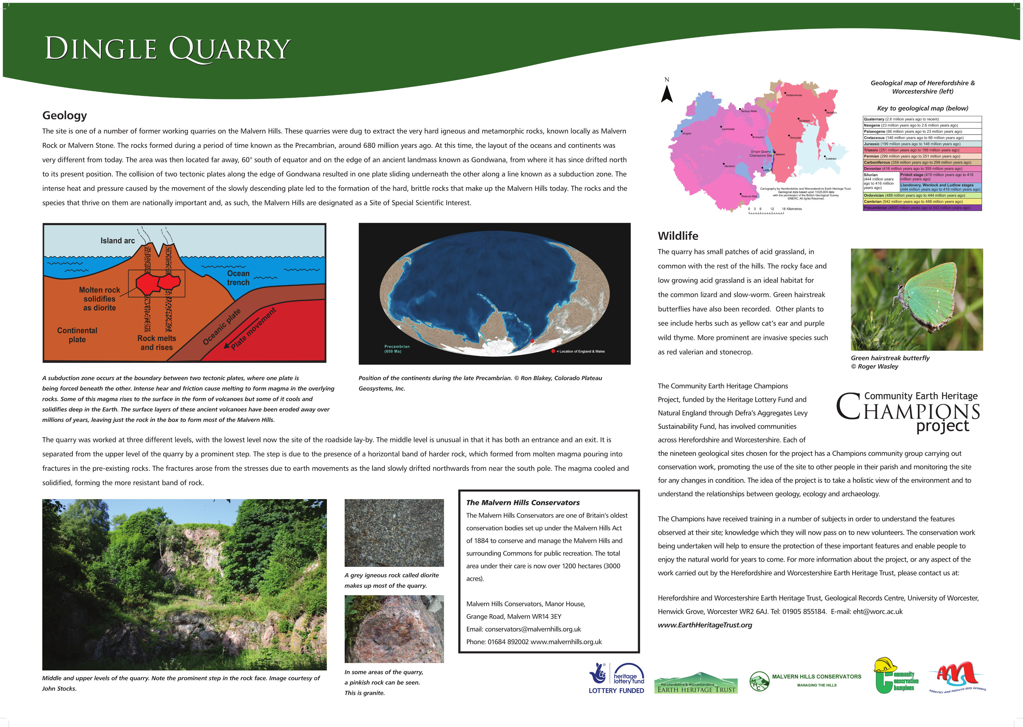
Dingle Quarry
Dingle Quarry is a small aggregate quarry in West Malvern. It is split into three different levels: Lower, Middle and Upper Dingle. Lower Dingle is located to the rear of a bus stop, with much of the exposure obscured by vegetation. Middle and Upper Dingle are located off a path directly above the bus stop. Middle Dingle can be easily accessed, whereas Upper Dingle cannot be accessed safely.
The geology of Dingle Quarry dates to the Precambrian, approximately 680 Million years ago, which means the rocks are some of the oldest exposed in England. The clear quarry face enables amateurs and experts to study the complex nature of the igneous and metamorphic geology on display.

Dingle Quarry before clearance work

Dingle Quarry after clearance work
An interpretation panel was produced for Dingle Quarry and can be seen here: Dingle Quarry Panel.
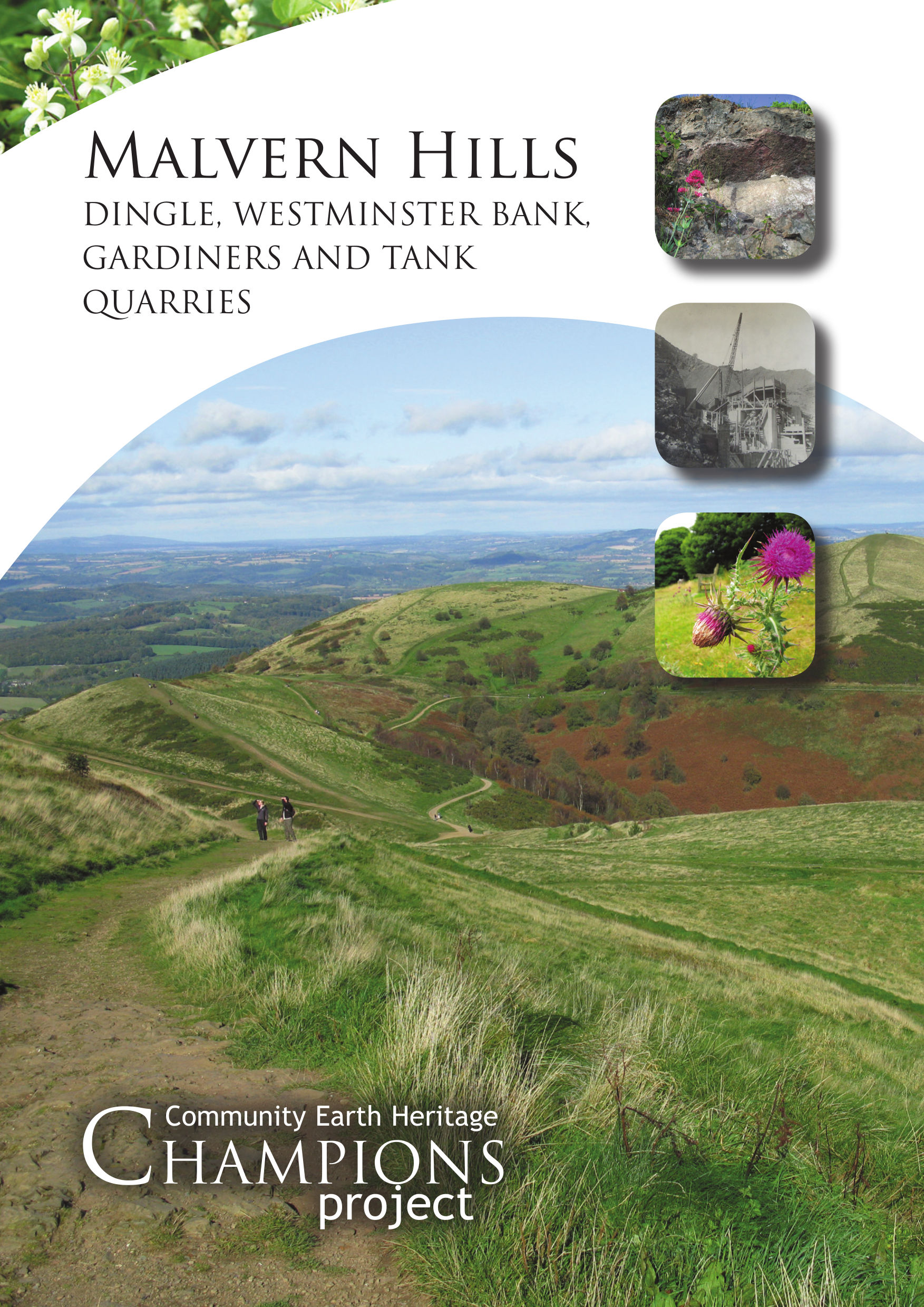
Malvern Hills booklet
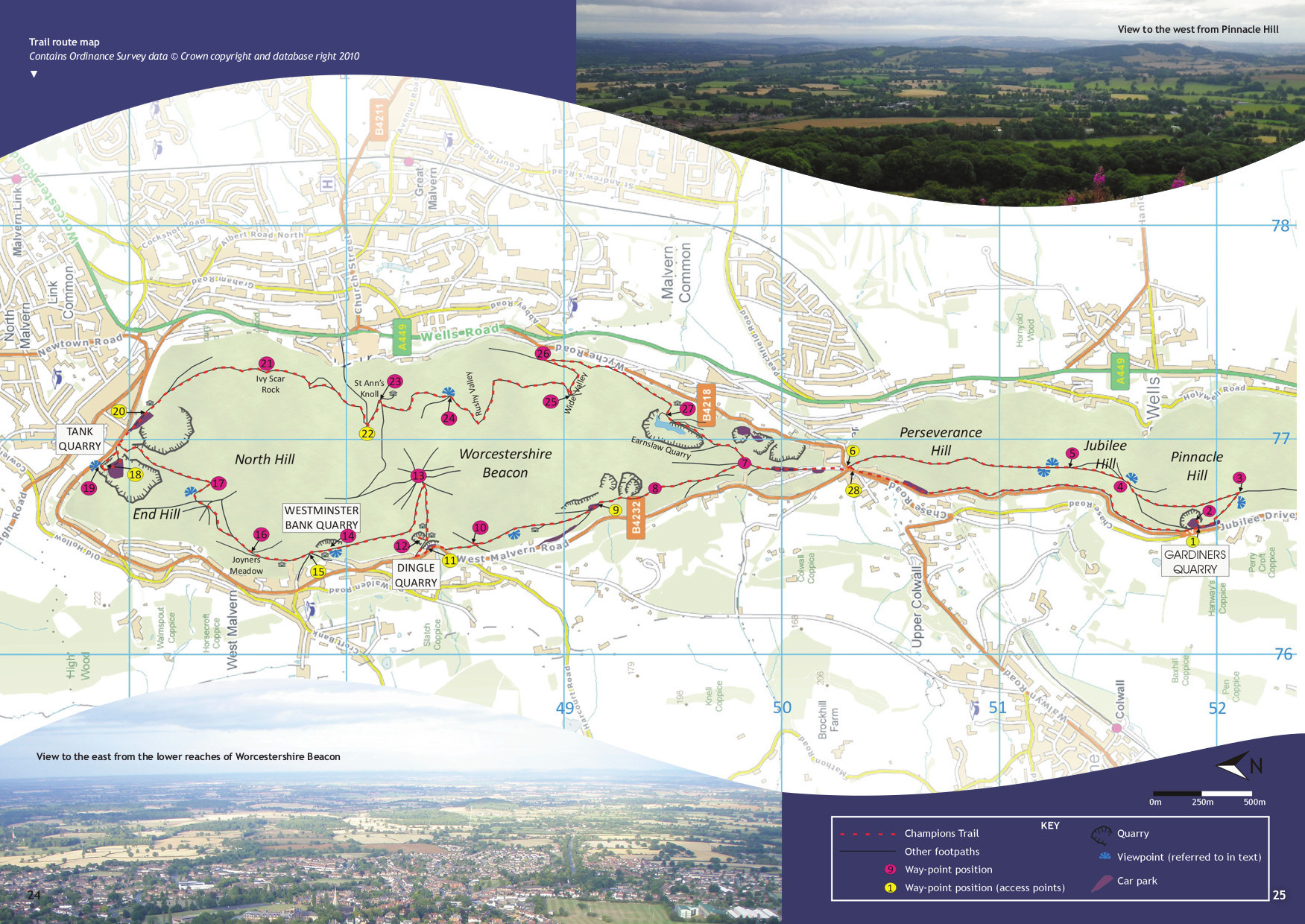
This 52 page booklet takes you on a figure of eight trail 13km (8.2 miles) long and links four Champions Sites; Gardiners Quarry, Dingle Quarry, Westminster Bank Quarry and Tank Quarry. In addition to the detailed descriptions of the fascinating and variable geology seen on the Hills, the booklet also describes the biological and historical features seen at each site. The trail can also be walked as a linear 6.5km (4.18 mile) route. Copies of the booklet cost £3.00 each, and can be obtained from the Earth Heritage Trust.
The booklet can also be downloaded here:
Malvern Hills booklet – part 1
Malvern Hills booklet – Trail map
Malvern Hills booklet – part 2
Malvern Hills Timeline
677 Ma: Crystallisation of igneous rocks (Malverns Complex) from molten rock (magma) at depth.
566 Ma: Eruption of lavas and volcanic ash (Broad Down, south-east of Herefordshire Beacon.
530 Ma: Emergence of deep-seated Malverns Complex rocks at surface.
440 Ma: Submergence of Malverns Complex below the Silurian sea.
300 – 310 Ma: Malverns Complex pushed up towards the surface along thrust faults to form mountains.
210 – 250 Ma: Subsidence of the Worcester Basin along major normal faults forming basis for the present landscape.
65 – 99 Ma: Submergence of Britain below Cretaceous sea.
65 Ma to present day: Emergence of Britain with weathering and erosion producing the main elements of the landscape we see today.
450,000 years ago: Anglian Ice Age with a major ice sheet, 300 – 400 m thick, occupying the Severn Valley.